Why This Matters
In 2023, Smart Solutech partnered with Transport for Cairo and WRI to map Lusaka's informal public transport network, creating the city's first comprehensive digital database. This groundbreaking project analyzed over 30,000 daily trips, mapped 793 key stops, and identified critical areas for improving efficiency and reducing emissions in Zambia's capital.
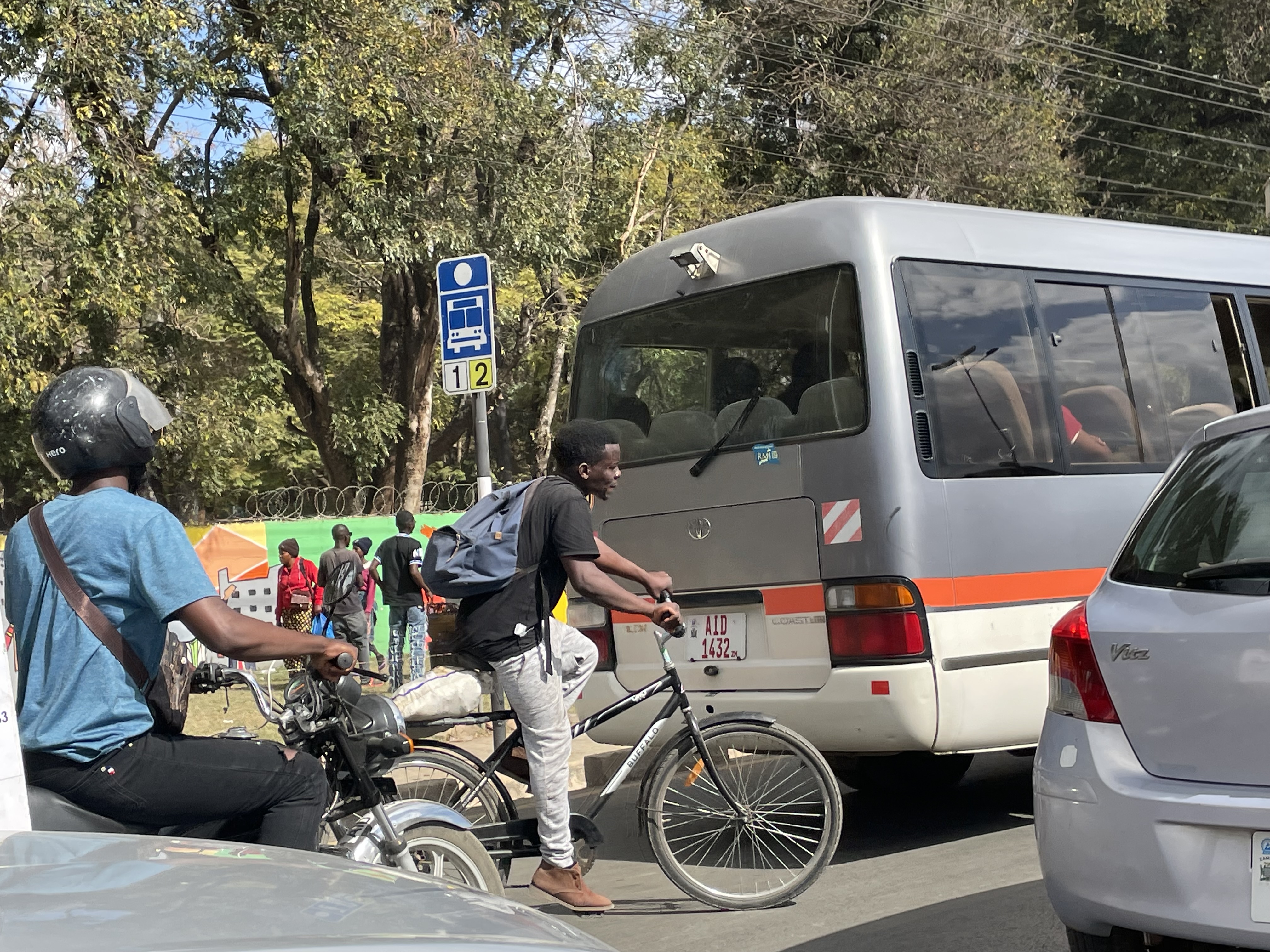
Lusaka, Zambia's fast-growing capital of more than 3 million people, depends heavily on informal public transport. The system is dominated by paratransit minibuses and mid-size "Rosa" buses, which are flexible but inefficient, with most trips funnelling through the Central Business District (CBD), creating delays and congestion.
Key Achievements:
- Created Lusaka's first comprehensive digital transport database
- Analyzed over 30,000 daily trips
- Mapped 793 key transport stops
- Identified critical areas for improving efficiency and reducing emissions
- Transformed data into a GTFS feed for modeling and analysis

The Methodology
Mapping Lusaka's informal paratransit system required a custom approach.
- Used RouteLab (TfC's open-source survey suite) to collect onboard GPS traces, stop locations, and boarding data
- Local researchers conducted surveys, with validation steps for accuracy
- Added section counts at key road segments and terminal frequency surveys to strengthen estimates
Combined with quality checks, this provided a reliable data foundation for the city's first comprehensive transport database.

From Field Data to Digital Pipeline
A data pipeline converted raw GPS data into GTFS format:
- Stops digitization: 3,343 raw boarding/alighting points consolidated into 793 representative stops
- Trip cleaning: GPS traces map-matched to the road network
- GTFS transformation: Routes and stops structured into global GTFS standard, enabling:
- Trip planning
- Accessibility analysis
- Emissions modelling
👉 The GTFS feed became the backbone of analysis and is reusable for future updates.

What the Data Reveals
The system is CBD-centered, with inefficiencies at the edges.
Passenger activity: concentrated in central terminals, while alighting is more dispersed → confirms a "star-shaped" PT structure.
Gender patterns:
- Higher female ridership in commercial/upper-scale townships
- Male-dominated boarding in areas like Kanyama, linked to poor infrastructure barriers for women
Vehicle performance:
- Speeds average 20–30 km/h commercially
- Drop sharply at peripheries where minibuses wait to fill or detour

Modelling GHG Emissions
First city-scale, fine-resolution emissions modelling for Lusaka PT.
Tool: gtfs2emis
Nearly 30,000 trips/day simulated (GTFS + fleet data).
Findings:
- Total CO₂: 225.17 tons/day
- Hotspot corridors: Lumumba, Great North, Great East Roads = most passengers + highest emissions
- Air quality: PM10 overlaps with high-density populations in Chazanga and Kabanana
Maps produced:
- CO₂ emissions distribution → concentrated downtown (since 90% of routes originate there)
- PM10 vs population density → northern Lusaka shows highest exposure

Conclusions: A Replicable Future
Lusaka now has an evidence base for low-carbon transport planning.
Model is replicable for other cities.
Key insights:
- Upgrade fleets
- Relieve overloaded corridors
- Align transport with Zambia's climate goals
Digitizing public transport = first step toward cleaner, efficient, equitable mobility.
Credits
- Smart Solutech
- Zambia Road Safety Trust
- World Resources Institute
- Transport for Cairo
- UK aid
- Climate Compatible Growth
- Digital Transport 4 Africa
- geonode.org
Project Partners
- Smart Solutech
- Zambia Road Safety Trust
- World Resources Institute
- Transport for Cairo
- UK aid
- Climate Compatible Growth
- Digital Transport 4 Africa
- geonode.org
